We put in a lot of miles over the course of a year. Most are spent on two lane roads crossing the sage steppes on the east side of Oregon.
A storm front in a picture
A feature of driving through the high desert is you’re able to see the weather. Not just the stuff over our heads, but what’s happening on a distant horizon.
Storm advances on a field of stubble
You witness weather fronts sliding across remote locations. We frequently pull onto a wide spot in a remote stretch of highway, camera lens pointed out at a distant butte or swale. Cloud patterns, rain curtains, and sunlight all casting shadows for our photos.
a variety of weather in one frame
The play of light, clouds and landscape make for very interesting images. It connects us to the environment in a way similar to standing in a stream or hiking a rocky trail.
All if this is part of the experience we are trying to share in these posts. At the same time, making the journey as much fun as the destination.
Winter snowstorms still pester the Bend area, but at the park we enjoyed sunny days and mild spring-like temperatures.
The morning sky over Cottonwood Canyon
Oregon State Parks offers overnight stays in cabins, teepees and yurts at parks all over the state. Most of these exist at coastal parks, however a dozen parks east of the Cascades have structured camping options.
Most importantly for us, there is always at least one cabin that allows pets.
Cottonwood Canyon State Park cabins.
Cottonwood Canyon SP has four “rustic” cabins available by reservation year-round. These two room units can sleep 8 people, have electricity to provide lighting, wall mounted heaters and an AC unit.
Cooking isn’t allowed inside, but there’s a gas grill, picnic table and fire pit next to each cabin.
April’s full moon rising.
A covered porch offers un-obstructed views east across a grassy flat, willow-lined river and the canyon walls.
Big Horned sheep in the canyon’s rocky hills
Our first morning was spent watching Big Horn Sheep graze on the rocky north face just above the campground.
At Pinnacles Trail head looking east.
Later in the day, we hiked up to the foot of that slope and the Pinnacles Trail Head. This trail and one on the opposite side of the river (Lost Corral Trail) follow the John Day for 4.3 miles around a couple of bends in the river.
Cottonwoods along the John Day Rver.
Winter runoff made fishing impossible, but we managed to fill our time catching up on reading, watching wildlife, and relaxing.
Reservations are snapped up quickly, but we’ve managed to find a couple of open slots in the fall and hope to become regular visitors.
While we have no illusions this marks an end to snowfall, it does mean days are getting longer and warmer. When there is one of those warmer days we head to the river. We’ve made several trips to the Lower Deschutes this winter and have gotten more familar with Maupin.
Hwy 197 crosses the Deschutes River in Maupin
It’s a small town precariously occupying a hillside over looking the Deschutes River. It’s really returning to an old haunt and with a bit of exploring we discovered a stretch of river with easy access for all.
Maupin’s downtown mural art
If you’re here make sure to step inside
Highway 197 (Deschutes Ave.) winds it’s way in and back out of the canyon passing through the center of Maupin.
Where the highway crosses fifth street is the Deschutes Angler. . . . a flyfishing shop.
Among the hundreds of shops in river towns only a handful are must stop locations.
The adage “if they don’t have it you don’t need it”hallmarks these places. Deschutes Angler is on that list.
A fishing shop visit could replenish a tying bench or fishing pack, however mostly it’s a means to acquire current intel on local waters. Not all establishments are equal in these aspects, so when you find a good one it gets marked on the map.
The sun helps cut the chill but hasn’t been around enough to coax spring color back into the canyon walls.
A narrow road follows a section of the Lower Deschutes RiverKeeping an eye out … it’s what BCs do
We need wadeable access so take advantage of pullouts along the Deschutes River Access Road.
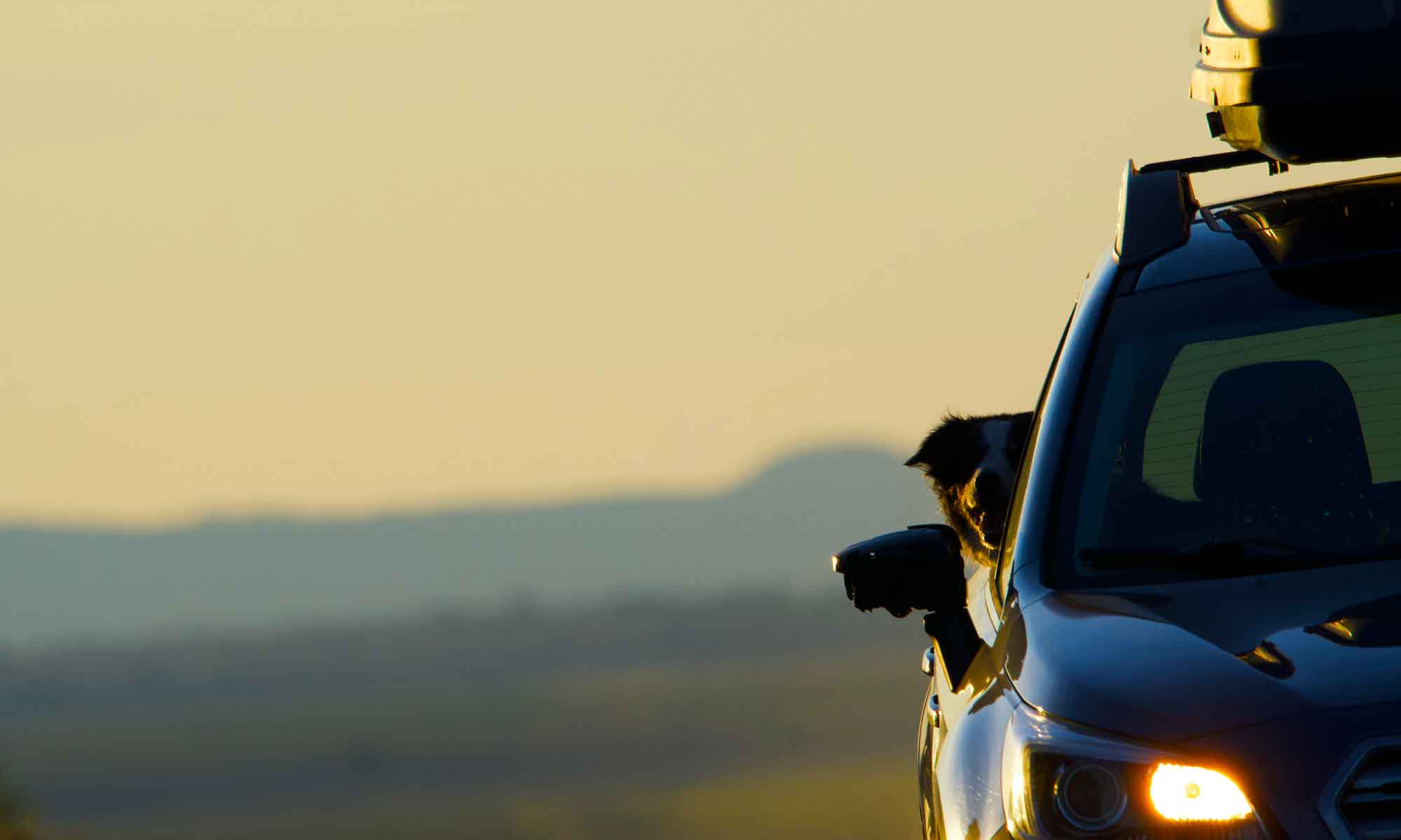
Fishing alongside traffic comes with some limits. Tip is on constant duty, so if the road offers the shortest route between JQ and Jack he’ll be on it.
Fortunately he is a good listener.
The spot we settled into this winter offers lots of dog friendly access to the river. There’s a wide swath of river silt and grass cut with jagged outcropping of lava rock.
Hunting Red Band Trout on the Deschutes River
The scattering of trees and willow bushes at river’s edge seem bare from the road. Ducking under a branch to gain access to a new pool I notice bud sites and the beginnings of summer foliage.
Won’t be long before the banks are lined with fisherman and the water is full of rafters. By then other waters will become our regular haunt.
Snow blown off tree boughs creates a winter sceneMarch snow loads the branches
Winter arrives in Central Oregon by late November, followed by a stretch of bitter cold after the holiday season. Typically, by now, we’ve moved through a false spring.
However, Second Winter never rolled over us this late in the year. If forecasts are to be believed, winter is over . . . but not before leaving a few inches of snow, then ambling away ahead of a string of spring-like days.
Our snow storms are not California level, but frequently dampen any excursions we might’ve been planning.
That’s not to say we didn’t get out of the house, just not far from it. It is a house policy not to drive on snowpack or icy roads, unless a bakery is the destination.
West end of the pond is iced over
Sunriver HOA is always on top of snow removal. Once parked in a recently plowed lot at the Nature Center, we ventured out onto untracked snow.
Fresh snow enhances any photo opportunity. A bonus is checking on the swans and attempting to spot elusive otters.
Tip enjoying a bit of ‘off-leash’ time
The cygnets have grown and the pond was full of ducks, but we didn’t see any sign of otters . . . may be next time.
It may be another ruse, but we’re definitely taking advantage of the upcoming thaw. After all, we already have stuff on the calendar.


 The scattering of trees and willow bushes at river’s edge seem bare from the road. Ducking under a branch to gain access to a new pool I notice bud sites and the beginnings of summer foliage.


