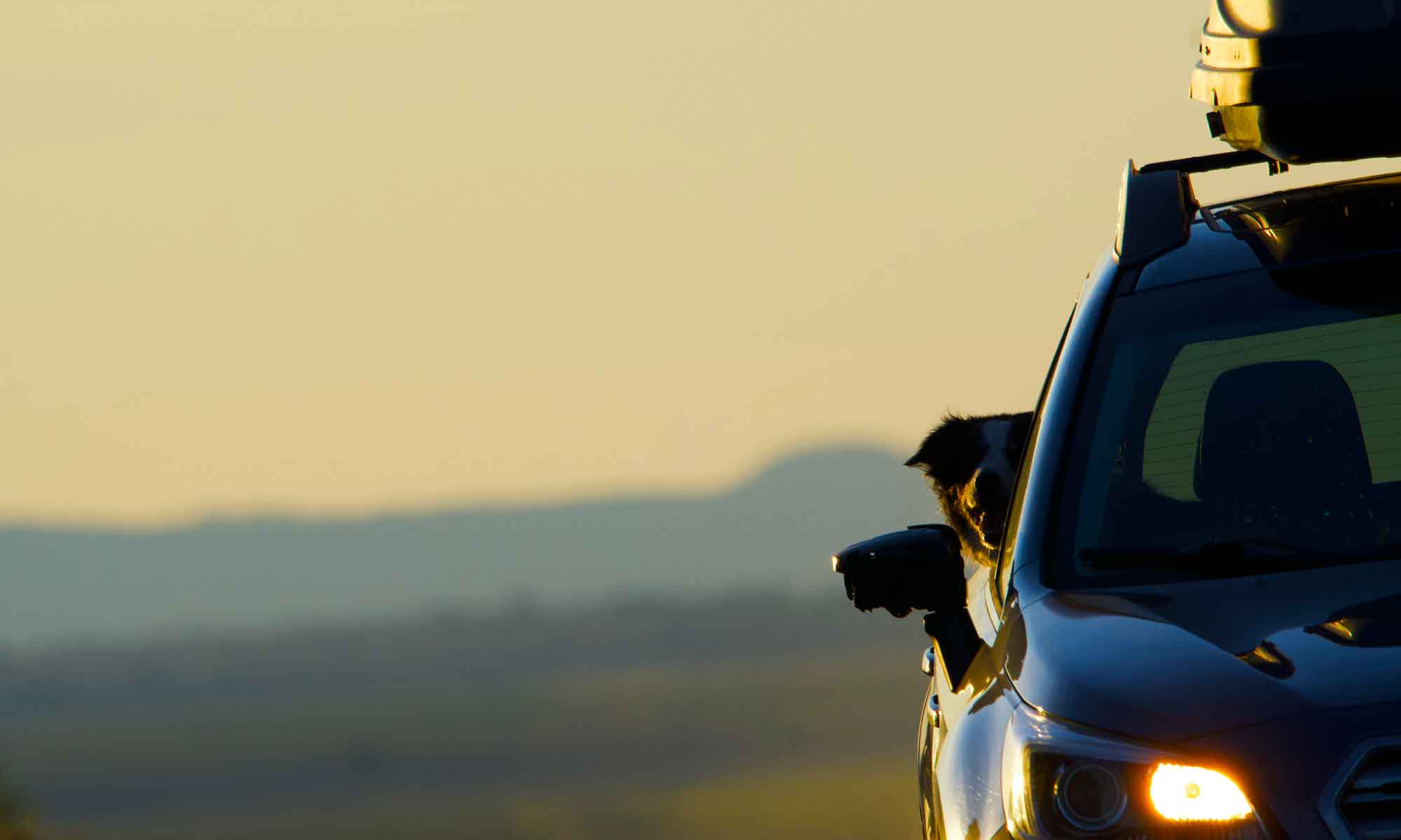


A favorite day trip spot is the Upper Deschutes river. This point is too far upstream for sea run or any of the huge fish the Deschutes River is famous for. However, the stream IS full of 8 to 10 inch Rainbow and Brook Trout.
There are about eight miles of stream from Lava Lake, the headwaters to Crane Prairie Reservoir. Along that stretch of highway are pullouts and parking spots, as well as a day use area on the northern end. We usually find a great picnic spot along the bank and not see another person all day. It is also a favorite river for Tip to fetch sticks and floatie toys.


 Unlike the lower river, this stretch of water meanders through flat pine forest and grassy marsh land. There are lots of open meadows, but there is also a hatchwork of deadfall. The paths that lie either bank are an obstacle course of weathered logs. In places the downfall resembles jacksticks. This makes it a bit more difficult for old legs to navigate, but only to the point of slowing us down a bit … Tip finds the steeple chase an extra bit of fun.


 Regardless of the reduced outing schedule, we don’t miss the morning walk. Typically in Central Oregon, even a blazing hot day starts with temps in the low 40’s.


 We have always used US 31 to get to Summer Lake, but this trip we found a whole new area to explore on the western side of Winter Rim.
 The cascade range between Crater Lake and Mount Washington holds hundreds of natural lakes. Most of them small alpine bodies of water a few acres in size, many of which require walking on mountain trails to reach.
 Waldo Lake sits on the west side of Willamette Pass, about an hours drive from us. At 39,000 acres it’s one of the largest natural lakes in Oregon and second deepest, next to Crater lake. Bordered on three sides by wilderness the pristine waters of Waldo Lake are off limits to power boats. Once there you can choose from three different camp grounds, each with a boat launch, but none with day use picnic sites.


 Crescent Lake, a few minutes southeast of Odell, offered sandy beaches and excellent fetch and swim time for Tip.


 Wet and happy dog back in the car we head down into the canyon and search out a parking spot on the river.