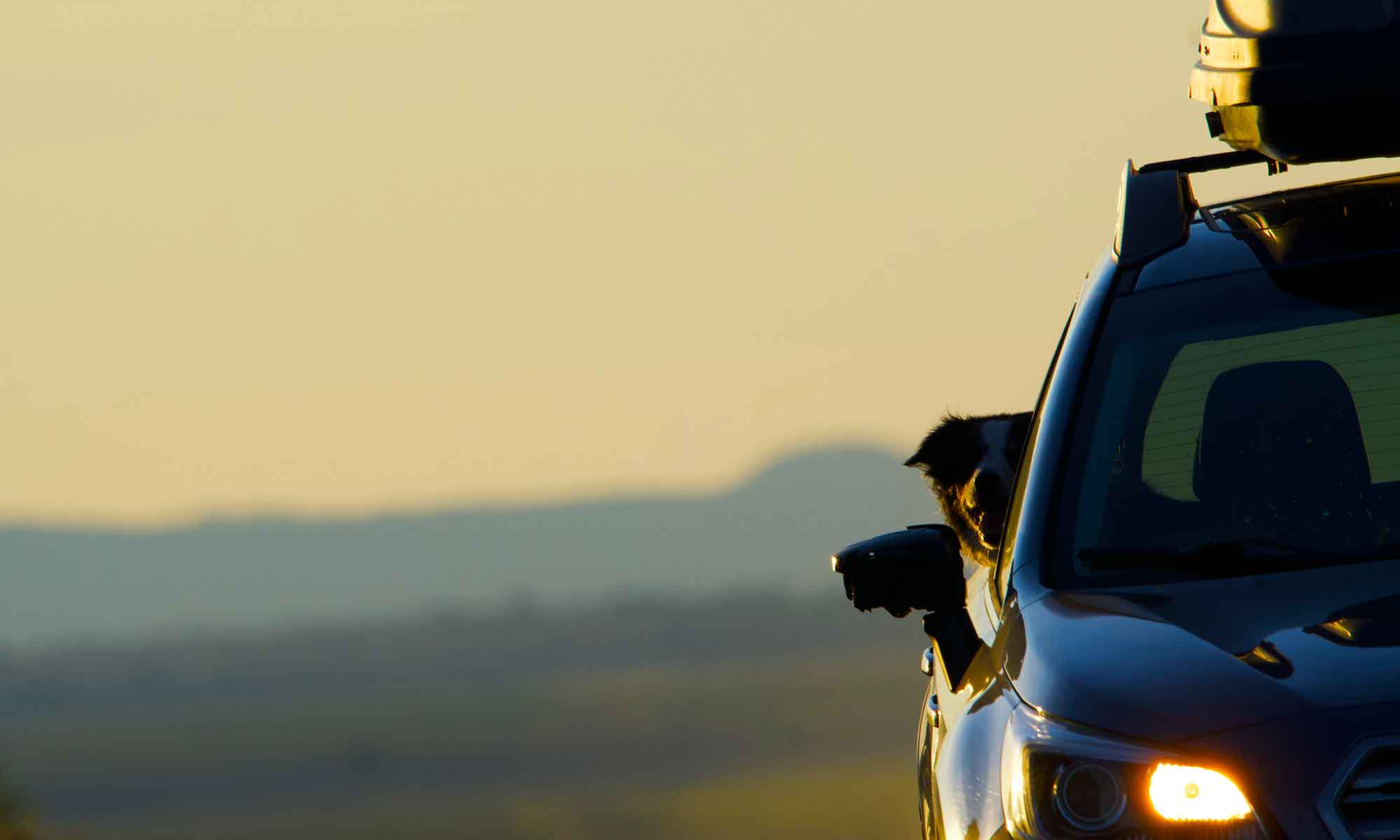
Season’s End


What is surely the last hot days of summer came this week.  Today it rained and the forecast is for cooler temperatures.

But this week we sat on the banks of the Crooked River and sought elusive patches of shade as the heat of midday beat down on us.

Yes … fall is a favorite time of year, but more to the point, we like that there are four seasons.

That space when the seasons are changing offers a perfect blend of both. We manage to take advantage of what every season offers.

Right now, fall weather is overtaking summer. Crisp mornings require caps, scarves and even gloves for the walk. The required sweater will be shucked by afternoon but never far from hand.

Winter’s snow may be early this year, it may stick around longer and deeper, but for now, we are taking in what is best about autumn days and trying to catch migratory flights and Fall Caddis hatches.

How’s the Weather?


Years back in Bozemen, Jim Murphy, a friend who grew up on the plains of eastern Montana, commented about feeling confined by trees and mountains. He didn’t like not being able to see the approach of weather.

At the time it didn’t make sense to me. There was lots of weather … you just had to look up.

I grew up surrounded by mountains forested with larch, spruce and balsam. We then moved to Pacific Northwest’s forests made dense by rain, doug fir and hemlock.

And then … we moved to Central Oregon and the edge of the High Desert.

Now Murphy’s comment makes perfect sense.

The sage and scrub pine open up to an expanse of sky that gives fair warning to any changes in weather. As well as what is happening in the next county.


Unrestricted by dense forest canopy, we’ve become observers of clouds, the sky and by default the weather. There are lots of trees and mountains around us, but there is also a great expanse of sky.

Near Biggs, Oregon

If you’ve been visiting this blog then it’s apparent we post a ton of images that take in the landscape and with it cloud formations.

We have regular day trips that carry us out into the high desert … just to observe and photograph clouds and weather patterns.

Nothing typical about this week

This week has been interesting to say the least.

For the last six months we’ve been observing pandemic guidelines. Now to be honest, I rather like the whole social distancing part. It’s nice not having someone crowd you at the checkout, so waiting 6 feet away is actually preferable.

But then,  just after Labor Day came the  wildfires. Oregon was hit with a series of blazes on the west side of the Cascades. Large fires, unlike anything that side of the state has seen.


The result … air quality at hazardous levels.

For the past week, or more, we’ve been inside, unable to spend any time outdoors. There have been small breaks with the worst of the smoke coming late afternoon and evening.

An eerie haze hangs over the landscape. Face covers, mandatory for interior travel, are now necessary outside as well.

Just taking Tip for a walk brings tears to our eyes.

Friday finally brought a shift in the weather. It rained for the first time in weeks. Wind direction shifted and moved dense smoke out of the Willamette Valley and into Central Oregon. Hopefully it will keep moving east and while the fires still burn the really bad smoke / air quality is on the way out.

In the meantime, we are getting caught up on reading, cleaning and home organizing projects.

A Pine Tree Maze


A favorite day trip spot is the Upper Deschutes river. This point is too far upstream for sea run or any of the huge fish the Deschutes River is famous for. However, the stream IS full of 8 to 10 inch Rainbow and Brook Trout.

There are about eight miles of stream from Lava Lake, the headwaters to Crane Prairie Reservoir. Along that stretch of highway are pullouts and parking spots, as well as a day use area on the northern end. We usually find a great picnic spot along the bank and not see another person all day. It is also a favorite river for Tip to fetch sticks and floatie toys.

Unlike the lower river, this stretch of water meanders through flat pine forest and grassy marsh land. There are lots of open meadows, but there is also a hatchwork of deadfall. The paths that lie either bank are an obstacle course of weathered logs. In places the downfall resembles jacksticks.  This makes it a bit more difficult for old legs to navigate, but only to the point of slowing us down a bit … Tip finds the steeple chase an extra bit of fun.


Still Waters

The cascade range between Crater Lake and Mount Washington holds hundreds of natural lakes. Most of them small alpine bodies of water a few acres in size, many of which require walking on mountain trails to reach.

We’re more likely to spend time on rivers or streams, preferring moving water. But this week we explored some of the road accessible lakes near home.

Waldo Lake sits on the west side of Willamette Pass, about an hours drive from us. At 39,000 acres it’s one of the largest natural lakes in Oregon and second deepest, next to Crater lake. Bordered on three sides by wilderness the pristine waters of Waldo Lake are off limits to power boats. Once there you can choose from three different camp grounds, each with a boat launch, but none with day use picnic sites.We quickly discovered the area is a huge draw for paddle craft. While the large parking areas were lightly populated it was impossible to find an open spot to picnic on the bank. This did renew our interest in acquiring a canoe and / or trying some of the wilderness hikes north of the lake.

Princess Creek day use site on Odell Lake is a great spot for a picnic.

South of Waldo, along Highway 58, is Odell and Crescent Lakes. In the fall Trapper Creek, running into Odell’s western edge, teams with spawning salmon. The day use site at Princess Creek CG on Odell offered a quiet spot to have some lunch.

Crescent Lake, a few minutes southeast of Odell, offered sandy beaches and excellent fetch and swim time for Tip.

We finished off the trip with a drive north on the Cascade Lakes Highway, past Davis Lake, Wickiup and Crane Prairie Reservoirs. If we hadn’t turned east for La Pine there are another half dozen lakes along that highway as you swing around the base of Mt Bachelor and drop down into Bend.