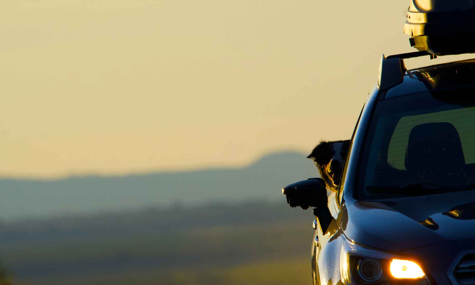


Oregon Route 31 runs from La Pine to Valley Falls passing south of Fort Rock State Park and Summer Lake Wildlife refuge. The Fremont road is a route we take often. About half an hour into the trip you drop out of the Lodge Pole and Ponderosa forest onto a sage and rocky plain.

Fort Rock sits at the edge of this transition with Summer Lake another 30 minutes onto the high desert.
From tilled fields the road follows basalt columns to a notch just a thousand feet off the valley floor. At the top is Picture Rock Pass, as you drop toward Summer Lake there is a a grand view of the marsh and alkaline flats.
 Sitting on this relative high point is a flat rock face with petroglyphs that were etched 7500 to 10,000 years ago. The rock is just a few hundred feet off the side of a road, south of a narrow gravel turn out. Given humans propensity to paint or tip ancient rock it’s just as well the site is unmarked.

It was the marshes and meadows with their abundant wildlife that drew prehistoric humans to the area. Twelve thousand years ago, the Clovis Period, Picture Rock Pass was etched by the area’s early inhabitants.

Archeologists have uncovered signs of prehistoric life that includes 10,000 year old foot woven sagebrush sandals at Fort Rock and 14,000 year old artifacts at Paisley Caves area.
There’s a lot of history in this hundred mile stretch of asphalt.

 This day was a bit different. Instead of a stick, Tip discovered a ball.


 What’s for lunch gets packed into


 The pocked face on the southside of Fort Rock didn’t offer up much raptor viewing. Song birds and ravens were in abundance, as was the occasional herd of migrating mule deer and antelope.
 The Deschutes River north of Maupin was, for years, a go to fishing spot. There are BLM camp sites along the river from the bridge on Highway 197 to Mack’s Canyon.
 When we moved to Central Oregon it was with a thought that we’d spend time on the lower Deschutes.


 This year, as we were planning camping excursions. I noticed there is an extension of the BLM land South of Maupin.

 This week we decided to take a day trip back to the old fishing spots and checkout this new area.


 We headed North, downriver, to our favorite parking spot … Oak Springs. We enjoyed a picnic lunch before heading back to home.