Cascade Lakes Loop

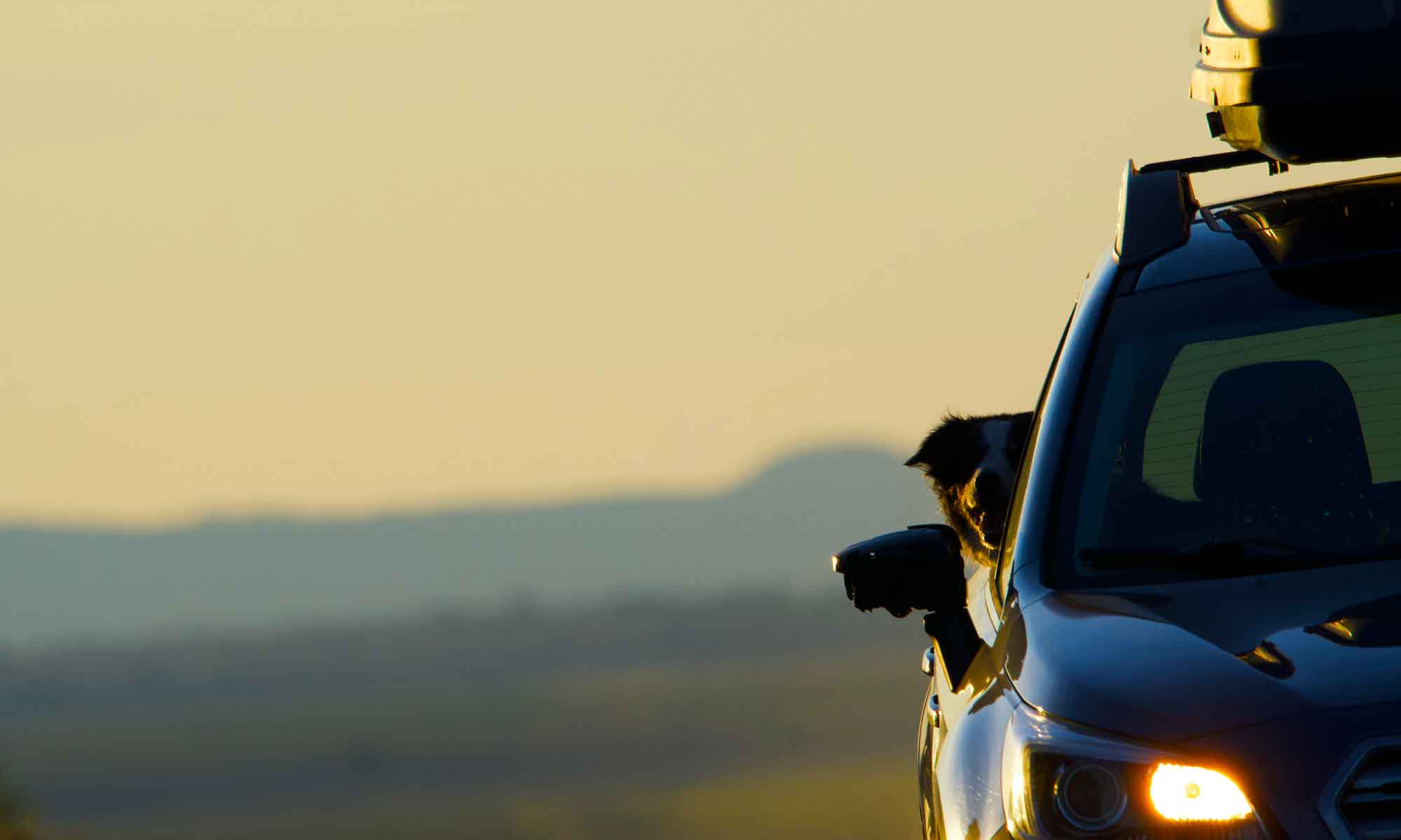
A great view of the road ahead

A series of mountain lakes, trail heads and the headwaters of the Deschutes River are paralleled by a road.

The Cascade Lakes Highway runs from Highway 158 (Willamette Pass road), north along the eastern slope of the Cascade Range, skirts the western edge of Mount Bachelor, before dropping into Bend, Oregon.

Clouds cling to the peak of Mt. Bachleor

We drive this route nearly every season, but from late November to Mid-May snow closes the highway.

By the middle of summer, the traffic is thick, especially on the Bend and Bachelor end of the road. However, a mid-week trek is usually light on tourists, bikers and hikers.

A mountain marsh on the edge of Sparks lake

Sparks Lake is an iconic photo location and for good reason.

There is a massive wetland framed by rocky crevices of Bachelor and dotted with seasonal wildflowers, as well as wildlife.

Thistle sways gently amid marsh grasses

August flora is primarily tiny little blossoms tucked in the dense green marsh grasses.

As for wildlife this stop, we caught sight of a flock of Canada Geese resting where lake and marsh meet.

The best sighting was of tiny frogs, hundreds of hopping reptiles, no bigger than your thumbnail.

They made navigating the boggy marsh an adventure. Let me just say  .  .  .  these little guys weren’t the only thing hopping.  

Head waters of the Deschutes River

Of course the most common stop for us on this road is one of the many access points to the Upper Deschutes River. This day our favorite turnout was open.

We found large patches of Fireweed (Rose Pink Willow Herb) along the river’s edge

This stretch of stream offers excellent places for Tip to fetch and swim.

This day we were met with exceptionally high water levels. Levels we’ve never seen in the month of August.

Mosquitoes were less of a problem than in June. We could actually spend time walking along the banks, where the river hadn’t encroached.

Tip got in some wading, though high water made it impossible to swim after sticks.

On the final leg south, our route winds through Ponderosa forests, between two large reservoirs and right up to our back door.

Leaf Fossil Hunt

We’re getting close.

To a rockhound a cut bank rising from a road’s borrow pit draws attention. You might see a wall of stone, a tumble of gravel, or you may not even notice.

Rock pickers see these as a window to  the past. The road builder has conveniently opened a portal into local geology. 

Sedementary rock layers sitting exposed in a road cut

An important aspect of finding fossils and unearthing minerals is understanding time from a  geological prospective.

Sedimentary, igneous, and metamorphic are the three major rock groups. Knowing which type you’re looking at helps one understand what could possibly get chipped out.

Ochoco divide still recovering from wildfire

Understanding how the earth was formed is knowing a measure of geological time  .  .  .  literally millions of years.

This week’s trek took us to a road cut on the crest of the Ochoco divide. There we split apart sedimentary rock layers in search of leaf and twig fossils. 

This high up and still in spring colors

On the geological time line these layers are young, less than fifty million years old and likely encased in mud and sediment on an ancient lake bed.

Volcanic activity pushed these rocks up to form mountains, only to be exposed by a dozer cutting out a logging road.

Leaf fossil

Leaf fossils are one of the few types we’re allowed to collect  .  .  .  dig up some bones and authorities want to know about that. 

But plant material is fair game.  However, it’s not easy work. It’s a fragile dig. You need to carefully split layers of rock to reveal the fossil.

Most plant fossils are from impression fossilization. Layers of sediment and soil bury the plant material leaving an impression or copy showing  a leaf in rather fine detail.

However, there are  times when the plant material gets replaced with minerals and you get a cast fossil.

Often casts are with limbs or twigs and the mineral replacing the plant structure so that rather than a simple ‘image’ you have a physical copy  .  .  .  in rock.

Twig fossils

We picked through tailings and chipped away at rock faces long enough to get some representative examples.

There was no need to fill buckets with rock bound fossils. The goal is to explore some different places  .  .  .  well, and have a picnic in the wilds.

Central Oregon Tour

Happiness is a road trip

We put a lot of miles on the Subaru this week  .  .  .  kind of a Central Oregon tour.

Summer has come on with a vengeance, but the rivers are still running too high to fish. The alternative is checking on places where we will be fishing soon.

High Desert spring green is short lived.

The Deschutes River canyon is dressed in spring colors  .  .  .  green and yellow. there are still a couple of weeks before the rafters take over.  We hope we can work in a fishing excursion before then.

This grain field will only be green for a few more weeks  .  .  .  Mt. Adams in background still wearing winter cap

The Crooked flow never really went down at the end of winter, so it is just now getting flow rates that allow fishing at all.

But this hasn’t stopped us from taking a picnic lunch stop at one of many great spots up there.

Cottonwood Canyon and the lower John Day River

We even managed to get to the Lower John Day River, Cottonwood Canyon, Colton and Service Creek.

Again beautiful country, freshly greened for spring, but extremely high levels on the river.

In the end we did some birding around Abert and Summer Lake.

That proved to be a bit premature for the summer migration, but we managed some great bird images for the blog.

A Black-necked Stilt forages in a mudflat

With the return of warm dry weather we’ll be getting out a lot more in the coming weeks.

Getting There

Winter morning on the Crooked River

It’s the journey more than the destination.

We offered a mantra last week which reminded me of another adage we follow. Don’t get caught up in where you’re going and miss great stuff along the way.

This week we headed back to a common destination, the Crooked River and as it turned out that wasn’t the best part of the day.

It has been bitterly cold this week. Clear skies will do that. However, those same blue skies make it hard to not get outside.

A week ago the wind and cold pushed us off the river.

This day it was just the cold   .  .  .  and no fish were interested in what we were offering.

To sate a foiled wade, as well as emerging appetites, we headed to the Tastee Treet to feast on a cheeseburger and fries. This made things much better.

However, it was the journey home from Prineville that really highlighted the day.

A wall of freezing fog rolls towards us.

We passed through a bank of freezing fog which had rendered the landscape an ice frosted wonderland.

Belted Galloways, or as we like to call them “Oreos”, are a favorite sight along our route home.

The fog had delayed numerous flights out of the Redmond Airport. We simply passed through the cloud unscathed, mesmerized by the altered scenery.

Freezing Fog casts an eerie light on the landscape.

The fishing trip turned out very different than what was planned, but that is the way many of our travels seem to go.. Looking for a different route has served us well.

Some Fall Color

Vine maple

Fall has descended on Central Oregon.

The high desert isn’t known for its foliage displays, but there are spots of color. Morning temperatures have dropped to near frost level chill,  but the skies are clear, and by noon we are in the mid-seventies.

It’s a great time of year.

Marshes at Summer Lake Wildlife Refuge

Early in the week we headed over to Summer Lake only to find that it’s locked down in preparation for waterfowl hunting season. Didn’t really see many birds, wonder why?

Undaunted we swung up to Winter Ridge for the trip home.

A favorite pull off on the Chewaukan River

Large swaths of the forest were ravaged by wildfire three years ago and yet some sections were untouched. Wildfire is a tricky beast.

Aspen leaves hold a distinct shade of yellow/orange in the falll

The area is peppered with marsh land, which in turn is home to numerous Aspen groves. This was our fall color and while mainly just shades of yellow. It was beautiful.

Later in the week, we headed back to Maupin for an additional attempt at Summer Steelhead.

This week’s trek began at first light  .  .  .  or at least early morning.

My cast count must be getting close to that magic “1000” number and still no steelhead. Instead, I settled for a stand in the river, taking in the wildlife and practicing those casting moves.

It’s the height of apple season and we were hoping to get some more cider.

There are around a hundred boxes of different apples and pears at Kikawa Orchard
If apples with redish flesh are pressed you get red cider … tastes just as good.

From the Deschutes River it’s a short jaunt to the orchards in Hood River.

On the slopes of Mt Hood there are a great variety of deciduous tree species and thus more fall colors.

Trees are still loaded with fruit, though mostly pears and the harvest is in full swing.

We did find some cider, as well as a few different variety of apples and pears to complement a growing fall fruit basket. Ladened with seasonal fruit, we headed home.